Issy Alps 100k
Short story
Here is the web page for the route.
https://bonegamespnw.wordpress.com/
I left Seattle driving to exit 20 Highpoint Way stashing my bike in the woods there. Next I drove to exit 34 Mailbox trailhead and started my adventure. I hiked up and down Mailbox, traversed over to Tenerife and hiked up the old trail passing Tenerife falls to the summit. Down the new trail to the lower cross over to Mt Si. Up the new Mt Si trail and down the old Mt Si trail to cross over to little Si. Up and down Little Si to trailhead. Traveled on the road over to the Snoqualmie valley trail to Rattlesnake lake. Up over Rattlesnake ridge and down into the valley crossing under Hwy18 and up into the trails that ascend East Tiger summit. Down toward the parking lot of I-90 at exit 20 Highpoint way. Back on my bike riding to my car at Mailbox parking lot. This took me 30.5 hours with 20,000 ft of elevation gain for the running part. The bike ride was about 2 hours. I carried all my food with me getting water from the stream along the way. I was solo with no support or pacers on this trip.
Longer story.
I am at Highpoint way looking for a place to stash my bike. I need a place easy enough to find when I would be tired but not for others to see my bike. It took a few false tries before I came up with a good place.
I am at the Mailbox trailhead, it is damp out and I am thinking, ok Jeff you ready for this? I am training for Bigfoot and this is one of my training run. Off I go.
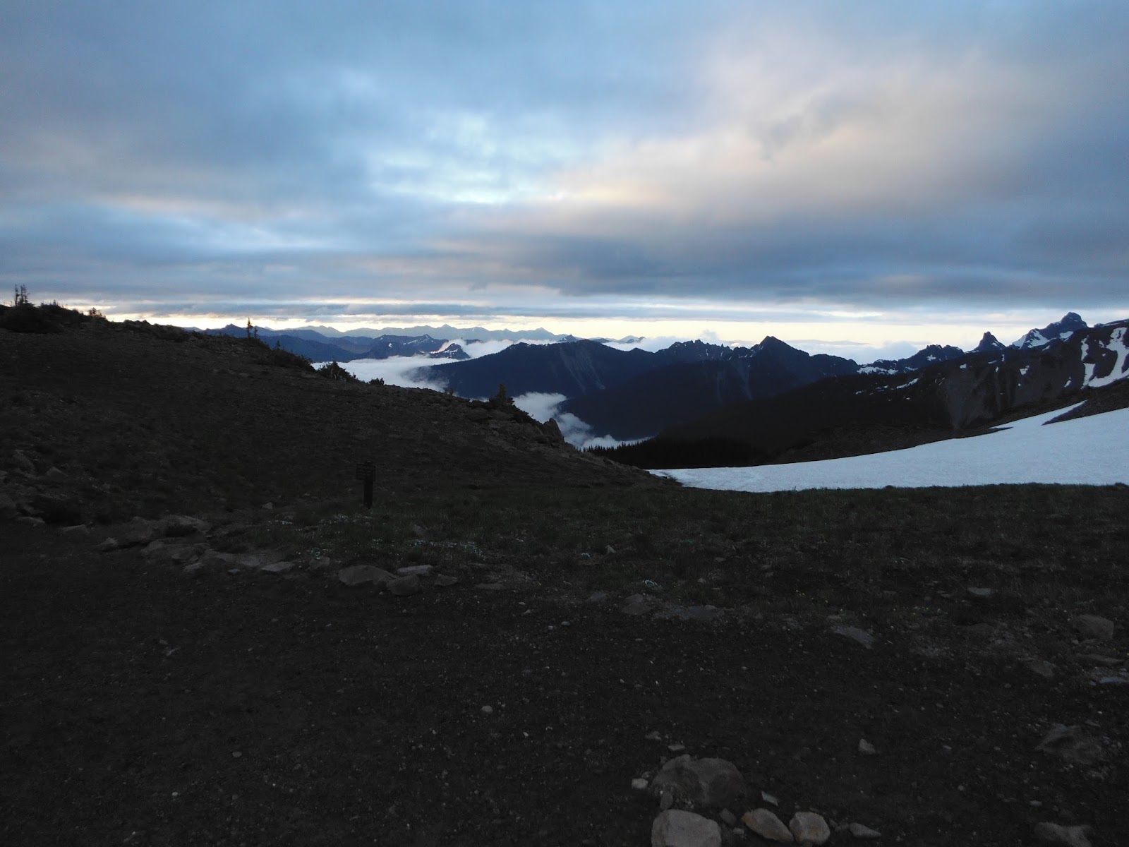
Note all the hiking sticks behind the trail kiosk. I had mind for this adventure. Up the new trail to the summit of Mailbox I go. It was interesting that I did not encounter any hikers until I was near the top of the trail. I think most were taking the old trail up. It was cloudy up high with fresh snow on the ground. Also a little windy and cold. I did not linger up here.
On the way down I meet a fellow SMRG guy and very briefly chatted with him. He wish me luck and we were both off in our directions. At the bottom I turned right on the road to the next trail on the right, Granite creek connector. This takes me over to the road that connects up with the Tenerife trailhead. There was a little bear scat on this trail. Also lots of salmon berries for snacking. It is still damp out. Here is a little bridge that you cross, Richard took a photo of this, so I thought I should also.
Richard ran the Issy Alps 100 miler a few weeks ago.
Once you exit this trail you turn left on an old road and leads to another old road to a locked gate. Once through this you will get to pavement and houses as you approach the trailhead for Tenerife. I knew my water was running low and waited to fill up at the Tenerife Fall.I ran out just before getting there. Here I started to see a few people hiking for the day.

This is Tenerife fall. It was a bit cool filtering water below the falls. The fall create a little cool breeze. It was not the smartest thing to do. I just zipped up and tried to hurry things up. Now it was up to the ridge, turn left and head for the summit. There is little patches of snow up high. I did not have to walk in any of it as the traffic before me had created a nice path.
As you can see the weather still has not improved much. It was not raining hard, just our PNW drizzle on and off. Ok time to head down the new trail to the lower cross over and then comes Mt Si. I pass a few people running down this trail. I have run these trails between Tenerife and Little Si a few times. I knew what was coming up next for the next few hours. I do not know if this is good or bad. I was listening to a book on my ipod to pass the time. Life is good. Each time I descend I warm up and push the hood off and zipper down. At each summit the hood is up and all zipped up.
As I ascend Mt Si I am grateful for the easier trail to climb. Tenerife and Mailbox are brutal. I did not climb to the summit of Mt Si. It was wet, I was alone and a little tired. I errored to the side of caution. Here is my high point on Mt Si looking at the gully to the summit.
Down the old trail now to Little Si. Near the bottom of the trail I saw the same gentleman from SMRG I saw on Mailbox. He was out doing laps. It was nice to talk to someone for a moment before continuing. I am was hoping to beat the darkness until I got to the trailhead of Little Si. I am at the summit of Little Si now


Again it is still drizzling out. I filter water at the creek on the little Si trail just before the trailhead. It is dark now. This section took me about 15 hours and 13,000 ft of elevation gain. I am not breaking any records here. I am fine with this as I enjoy moving across the earth under my own power. Out on to the road now and over to the Snoquamie valley trail toward Rattlesnake lake. There is periods of heavier rain now. I am glad I am down low. I switch to a two cd music set and see if I can get to Rattlesnake lake before it is over. I run / walk this section. I make it to the lake before the music ends. At the lake the rain is coming down. I use the handicap blue room to add rain pants and a layer under my rain jacket. I wonder what that makes me? Superman used a telephone booth to change. Something to ponder. Ok I have rain gear on, get out of this blueroom. Off up the ridge trail I go. The weather has produced clouds that roll in with 20 ft visibility most of the time. This is a real pain. I can not scan ahead very far to see where I should go. The trail continues and past the turn off for the summit I see the first warning for logging, trail closed. I go around, Another active logging sign, I go around. I come to a fresh cut road and stop. Where does the trail go from here? I spend way to much time exploring all the wrong ways to before walking down the road and seeing what is down there. I must have walked around in the wood there four time with compass in hand doing simple searches for the trail finding nothing. Walking down the road I found the trail on the right a little ways away. They cut the road in over the trail, duh. (Wake up Jeff!!!) Ok it is Sunday morning by now , it is still raining and foggy so I hope I have some excuse. I am rolling along the trail and encounter active logging debris. It is just tree tops, so easy to work around and over. I loose the trail once by going to high. These clouds rolling through are a real pain. I back track and am good for the rest of the way till I clear the logging area.
I hit the road I turn left on to take me over to the mt bike trails that lead me down into the valley hwy18 is in. These trail are a bit muddy and traction is questionable. Ok I probably looked quite entertaining if you could have seen me work through here. I am off the bike trails onto a old logging road that is under the power lines. I follow this down and down to 18. It turns into a trail / streambed at the bottom as you cross the river. I filtered water again here. Up the other side still following the power lines to get your feet wet one more time crossing a stream. Up through overgrown brush trail, I am glad I have pants and jacket on here, to tower. Up more to logging road on side of Tiger. Time to change socks. Follow the logging road to the trails on Tiger that will lead to east tiger. This is all on the map on the web site. Easy to follow. Here I am on the summit of East Tiger.

Yes it is still raining on and off. I sat down and ate a snack at the picnic tables at East Tiger in the rain. I was a bit tired. There were a few mt bikers to chat with as I sat there. Finally I get to go down for the last time and on to my bike. I can still run, sort of down the trail. The bottom of my left foot is not feeling so good from being wet for so long. The sun comes out now, yea!!! The woods are beautiful with the filtered light. Life is good. I eventually pop out at the trailhead at 2:50 pm on Sunday. So now where did I leave my bike? It had been a few year since I had exited Tiger from that trailhead so initially I did not recognize things. I keep walking and things started to come back. I found my bike. I am much more grateful riding my bike after 30 hours than walking. It was about two hours of riding to get back to my car. The journey was over. Now to Starbucks for some caffeine for the drive home.
I had the mental capacity to continue on for the 100 miles. I did not have enough food and the bottom of my left foot was getting pretty beat up. It was good to end the run at 100k. I felt good about what I did. My gear did its job well. It was an amazing journey. Thanks George for putting this up there for me to challenge myself.